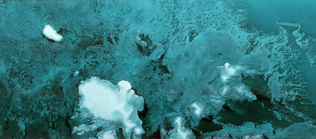
ESA have been busy recently launching three separate satellites over the last 12 months as part of their global climate-monitoring programmeCopernicus. The latest, Sentinel-1B, was launched on Monday 25 April and within just two hours of being switched on sent back this incredible picture of the Svalbard, the Norwegian archipelago north of the country.
Sentinal-1B joins Sentinel-1A in using advanced radar that is able to monitor the Earth’s surface day and night, whether it is covered with cloud or not. The data from 1A has already helped people cope in the aftermath of natural disasters and ESA has opened up all its data from its Sentinel programme for anybody to use. At 10 terabytes of data a day though, you’d need a pretty big hard drive to store it all.
“With another important milestone reached, we now have the fourth satellite in orbit and the Sentinel constellation as we envisaged it becomes a reality,”saysPhilippe Brunet of the European Commission. “This will enable our Copernicus services to get better and more data faster – and therefore help generate more information to a broader user community on a full, open and free of charge basis."
While you’re pondering what to do with all that data, why not just enjoy the full incredible photo below (and one from its neighbourSentinel-3Afor good measure).

Follow Science Focus onTwitter,Facebook, Instagramand Flipboard