Living in the UK, we at BBC Science Focusare used to the weather being almost impossible to predict.
However, these weird phenomena would take even the most experienced weather-watcher by surprise. These are some of the rarest known weather phenomena caught on camera, for your visual pleasure.
See more amazing science photography:
- A Shark with a Heart wins the Drone Photography Awards 2020
- 10 Humorous Pictures from the Comedy Wildlife Photography Awards 2020
- Living On the Edge - Meet the people who live in the World's most extreme places
1
Fire Tornadoes
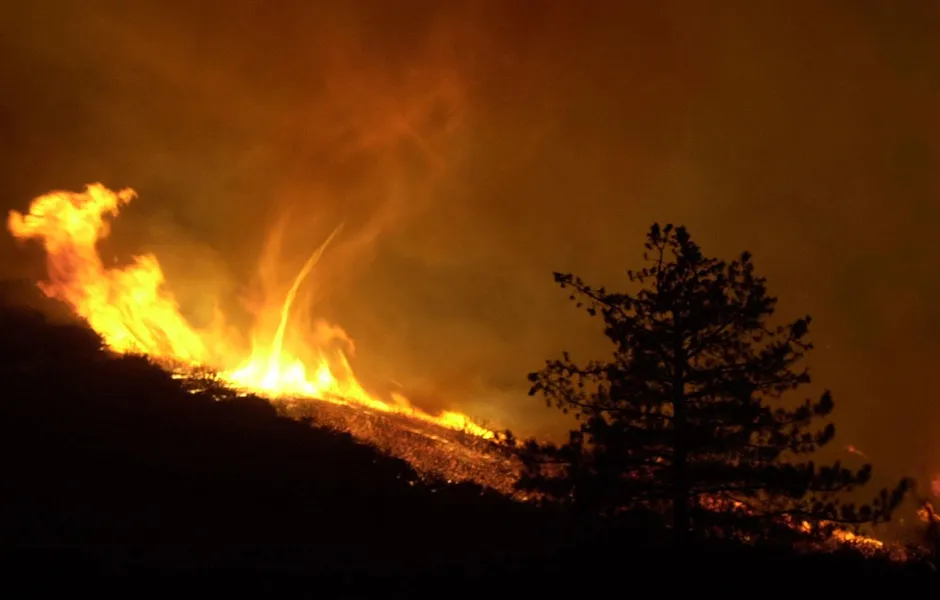
Fire tornadoes (or 'fire whirls', to give them their correct name) are most common in large-scale wildfires, and are not actual tornadoes but vortices that suck in gases and combustable materials. They can last an hour or more, and the temperature inside them can reach over 1,000 degrees inside.
Sometimes you might even see a much smaller fire whirl form on small bonfires and have also been created and studied in science labs across the world.

2
Microbursts
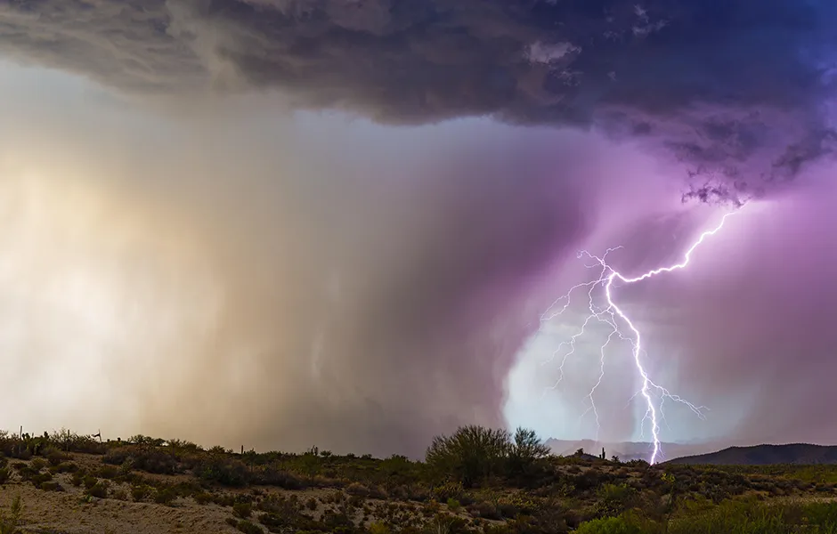
Essentially a microburst is a smaller version of a downburst. A downburst is very much the opposite of a tornado, in that instead of the wind pulling air to a central point and then sucking it up from the ground, a downburst drops the air and forces it out in all directions once it reaches the ground. This can lead to a lot of strong winds emanating from a single point.
Wet downbursts are associated with large amounts of rainfall during a thunderstorm, while a microburst is the same but on a smaller level. But both are very visually impressive, especially when seen with lightning at the same time.
3
Sprites
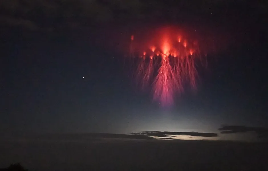
Unlike what we would regard as 'normal' lighting, Sprites occur way up in the Earth's atmosphere at about 50 to 90 kilometres above us, so images of them are rarely captured.
Sprites are a kind of cold plasma discharge that occurs above a thundercloud as nature's way of balancing out the positive lightning charges are released between the thundercloud and the ground below.
The spread of artificiallights at night is making it more difficult to see and study faint objects such as sprites, but better lighting techniques can help keep light on the ground and out of the sky. For more information on this check out the International Dark Sky Association's webpage.
4
Twin Tornadoes
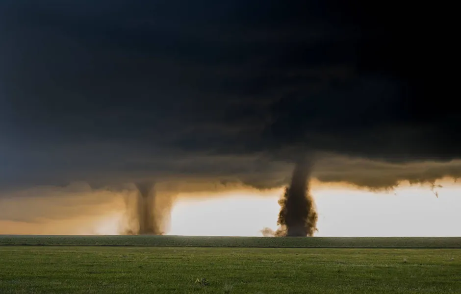
Twin tornadoes are incredibly rare, and you can be waiting 10 to 15 years between each one, so a good reason why they have made this list. A twin tornado forms from the same storm supercell, so the storm has to be very violent for a twin to form.
It is thought that two funnels can be visible during a cross-over period, where a new tornado forms as the old one dies out. It can also occur when one funnel is so strong that another, less powerful funnel can form from the vortices being generated by the first.

5
Fallstreak holes
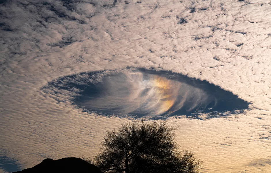
Also known as a hole punch cloud or cloud canal, a Fallstreak hole can form insidecirrocumulus or altocumulus clouds. These holes are thought to appear when the water temperature in the clouds is freezing but hasn't formed ice. When ice crystals do form (which can be helped by things like a passing plane), it sets off a chain reaction with can led to water droplets evaporating and leaving a massive hole behind.
Because of their strange appearance and rarity, their formation has been known to be incorrectly blamed on unidentified flying objects.
6
Kelvin-Helmholtz waves
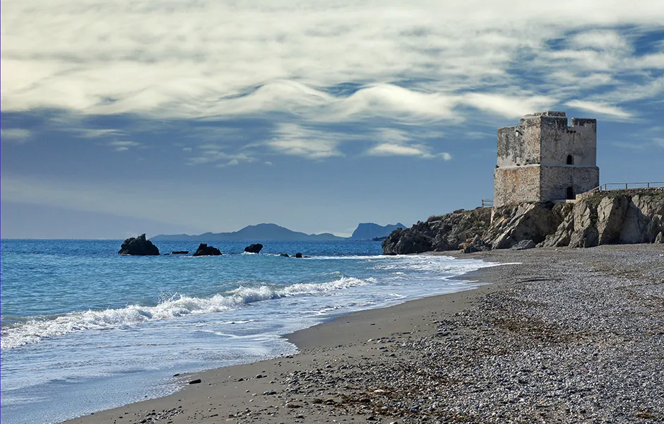
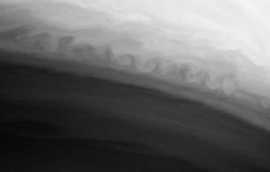
These weird, uniform clouds get their name fromLord Kelvin and Hermann von Helmholtz, who studied the effects of velocity difference between fluids. This is also the same effect that can be seen around Jupiter's Red Spot and the bands around Saturn.
When two liquids of different densities and velocities pass over each other, small and unstable motions can occur, and can form uniform waves. So, with Kelvin-Helmholtz clouds you are essentially seeing two layers of air moving at different speeds; the upper layer moving faster than the lower layer.
7
Waterspouts
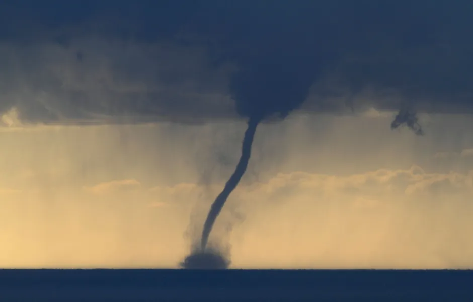
Another rare phenomena, but no less dangerous, Tornadic waterspouts can suck fish out of the water, carry them into the cloud and deposit them on to land. They have the same characteristics as a land-based tornado and are usually accompanied by high winds and severe thunderstorms.
The less dangerous type of waterspout is known as the fair weather waterspout, which are very weak and only last a few minutes. It also differs in that it forms on the surface of the water and doesn't tend to move very far, due to the gentle nature of the surrounding climate conditions
Waterspouts are most common in the UK around late summer, and it is estimated that only 15 a year occur here, while in Europe they are also prevalent off the coasts of Spain, Italy and the Netherlands