
GPS is, quite simply, one of the most heavily used technologies on the planet. Every time you tap your phone for directions, share your location with a friend, track a run or order a takeaway, there’s a good chance you’re relying on it.
But what many people don’t realise is how this system is funded. Or, more precisely, who funds it. You see, American taxpayers spend an estimated $2bn each year to maintain a network of satellites that provides free navigation services to much of the world.
So why does the US keep footing the bill? The answer involves Cold War missile programmes, rival satellite networks built by China and Russia, and a new generation of quantum technologies that could eventually replace GPS altogether.
But how does GPS actually work?
Okay. Let’s start from the beginning.
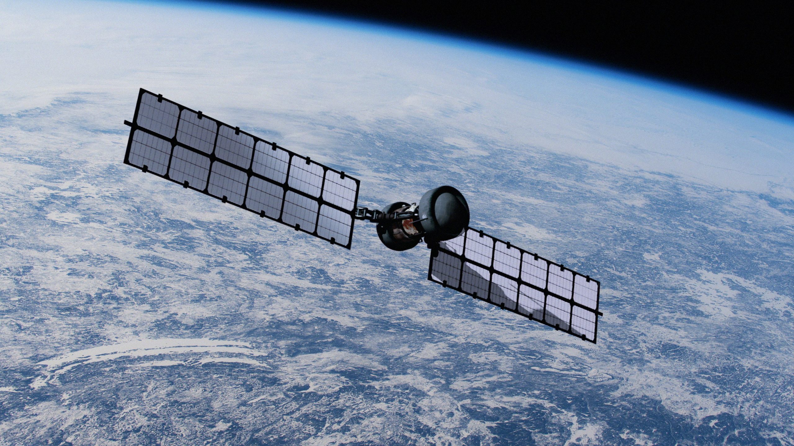
The Global Positioning System is, at heart, a fleet of at least 24 satellites operated by the US Space Force. Orbiting around 20,000km (12,400 miles) above Earth, each one continuously broadcasts the same two pieces of information: where it is, and the exact time the signal was sent.
Your phone, sat nav or running watch works by simply listening in to these signals. By measuring how far away several satellites are at the same time, your device finds the only point on Earth that matches all those distances at once – a process called trilateration.
Right now, there are more than 6 billion GPS-enabled devices in use around the world – heading towards an estimated 10 billion by the early 2030s, or close to one for every person alive. In the US alone, more than 900 million receivers are in daily use.
Did the US build GPS?
Yes. GPS was originally developed by the US military during the Cold War.
The US wanted a navigation system that could tell its troops, aircraft and warships exactly where they were anywhere on Earth. Just as importantly, it needed a way to know the precise launch position of its submarine-based nuclear missiles – because hitting a distant target accurately first means knowing exactly where you’re firing from.
The result was GPS. By giving the US military an unprecedented ability to navigate and coordinate forces across the globe, it offered a major strategic advantage over its rivals.
But how? Couldn’t enemies simply listen in to the signals?
In a sense, yes – GPS signals are broadcast openly, raining down on anyone with a receiver. But, rather cleverly, the US transmitted two versions. The precise signal was encrypted, so only American forces and their allies could unlock its full accuracy.
Everyone else was left with a second, open signal that was deliberately degraded – a feature known as “selective availability” – leaving civilian positions off by around 100 metres (330 ft).
That all changed in May 2000, when President Bill Clinton ordered selective availability switched off, instantly giving every civilian receiver a tenfold jump in accuracy. The move was soon made permanent – the latest satellites are built without the feature at all.
The military didn’t lose its edge, though: rather than blurring the signal worldwide, it can now deny GPS in a specific conflict zone while everyone else carries on unaffected.
Will the US government keep funding GPS?
Today, the US government continues to fund GPS because it remains essential to its military, national security and aviation systems.
And despite the Trump administration’s reluctance to fund services that benefit countries beyond the US, GPS appears to be here to stay.
It’s easy to see why. GPS is thought to have provided the US with more than $1.4tr in economic growth since 1983, across ten sectors ranging from agriculture to mining and maritime shipping.
Tellingly, around 90 per cent of that value has come since 2010 alone, driven by the smartphone boom and the location-based services – navigation, ride-hailing, food delivery – built on top of the free signal.
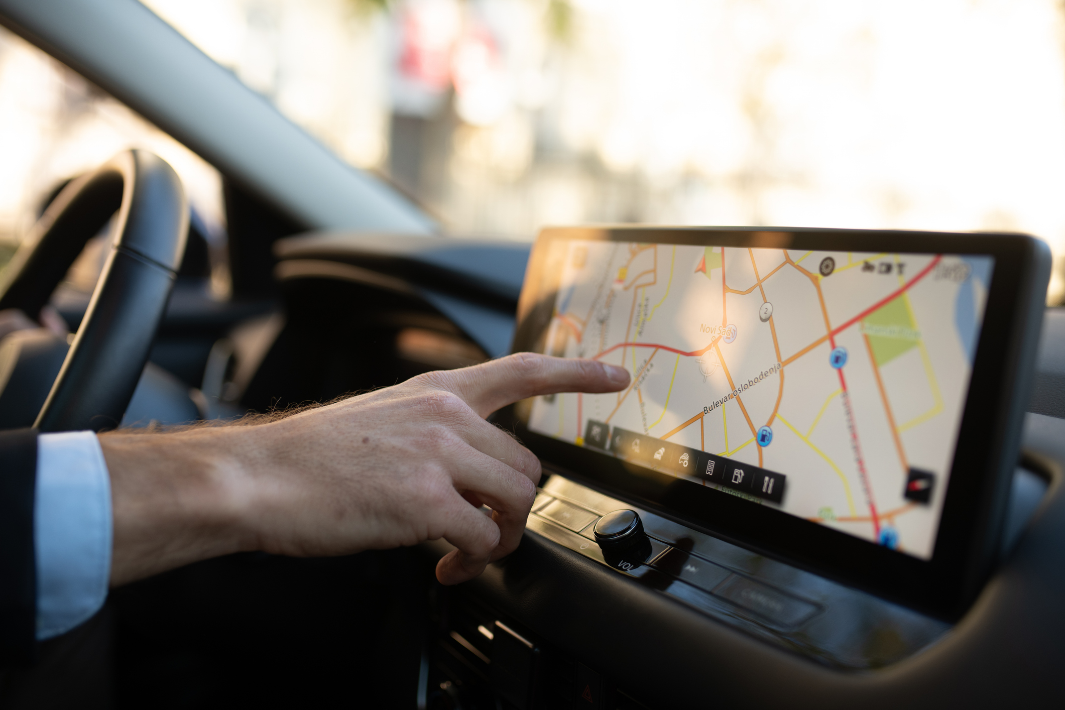
But the most valuable thing GPS provides isn’t actually location – it’s time. Each satellite carries atomic clocks, and that ultra-precise timing signal underpins systems most of us never think about: it synchronises mobile phone networks, timestamps the billions of transactions that flow through financial markets, and keeps electricity grids balanced.
All this means losing GPS would be catastrophic. Research from the RTI (International Research Institute) in North Carolina suggests that losing GPS would cost the US $1bn a day – and far more at the worst possible moment. A 30-day blackout striking during the spring planting season, when farmers rely on centimetre-accurate GPS to guide their tractors, could drive agricultural losses alone as high as $15bn.
“Such a prolonged outage may be unlikely. But the $1 billion-per-day economic loss, we found, far outweighs the cost of building backup GPS systems,” they concluded.

In this context, it’s perhaps unsurprising that the US has spent vast sums – over $8bn – on upgrading the satellite system.
Patricia Crouse, a professor of political science at the University of New Haven, says America’s willingness to continue paying for GPS “comes from a practical standpoint”.
She adds: “Even though Musk has Starlink, which in theory could replace GPS, you can’t force people to use private satellites at their own expense.
“We obviously pay for GPS systems through taxes, but it’s more indirect. And attempting to de-fund it would create chaos. Also, contrary to what some Americans think, we do not own the skies.”
Read more:
- Some (very weird) weapons are being launched in space. And that's only the beginning
- These may be the 15 greatest images of the Universe ever taken
- How does sat-nav know which way I'm facing?
Are there any alternative technologies to GPS?
It’s important to note that GPS is not the only global positioning system. Europe has the Galileo system. China and Russia also have their own systems, which, although less ubiquitous, offer these nations key advantages.
China’s answer to GPS is the BeiDou Navigation Satellite System, which became fully operational worldwide in 2020. While it offers global coverage, it is particularly strong across Asia, where it can rival – and in some situations surpass – GPS for accuracy.
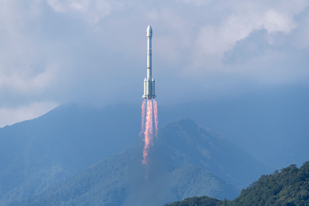
BeiDou also has a feature that sets it apart from most navigation systems: users can send short text messages via its satellites. That means someone stranded in a remote desert, mountain range or stretch of ocean can still communicate even when there is no mobile phone signal available.
The system isn’t perfect, however. While BeiDou performs exceptionally well across Asia, its accuracy tends to decline elsewhere. It also requires more specialised hardware than GPS to access some of its most advanced capabilities.
Nonetheless, the geopolitical significance of the Chinese system was underlined in 2025 when Iran reportedly began shifting away from GPS and towards the Chinese system during its conflict with Israel.
For countries wary of relying on a navigation network controlled by Washington, alternatives such as BeiDou offer not just practical benefits but greater technological and military independence.
Russia’s alternative system is called GLONASS. Originally developed during the Soviet era and modernised in the decades that followed, it was designed to give Moscow the same strategic independence from GPS that BeiDou provides for China.
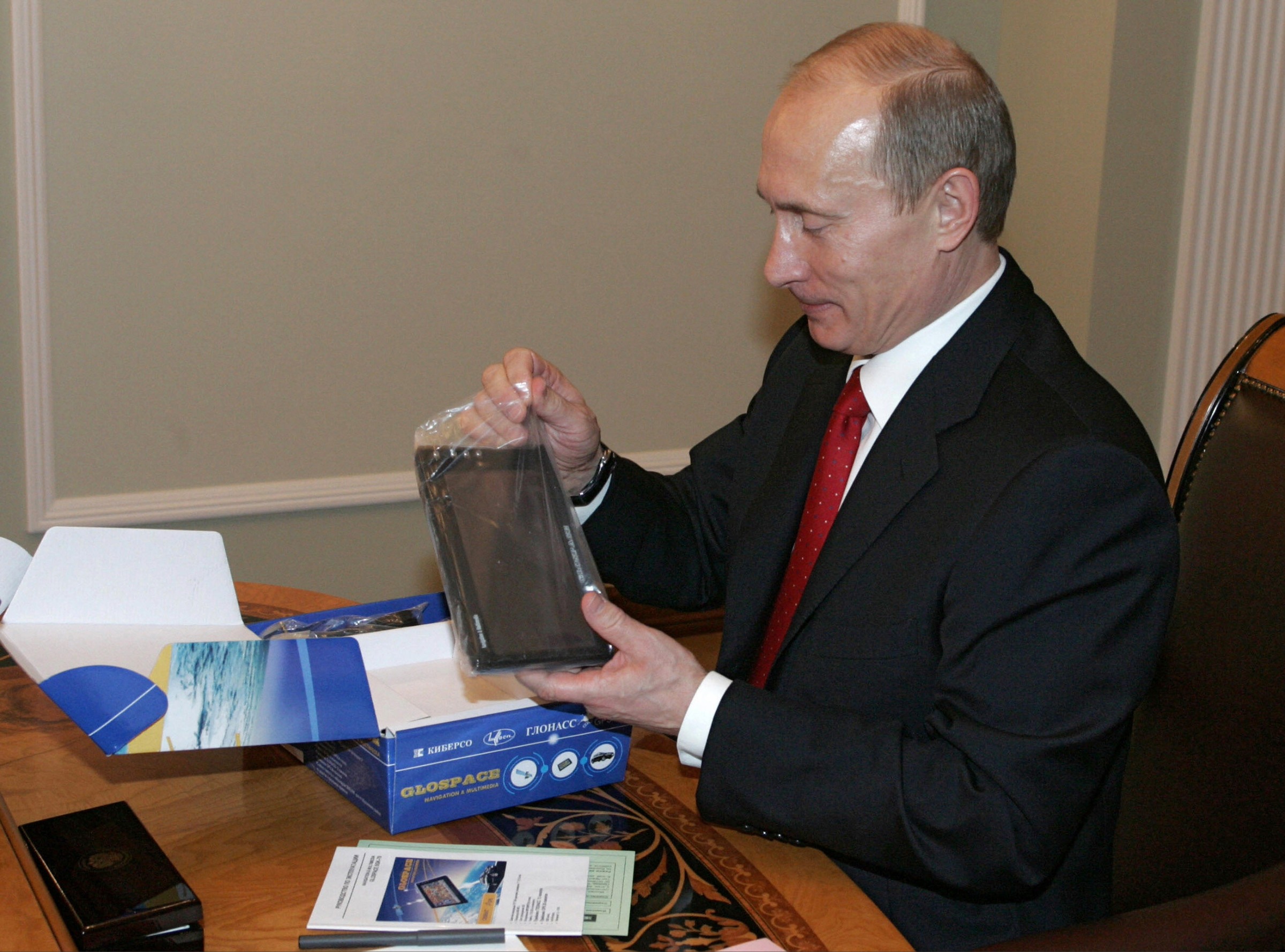
GLONASS’s greatest strength lies in the way its satellites orbit Earth. Their positioning gives them particularly good coverage at high latitudes, making the system especially effective in northern regions and the Arctic, where standard GPS signals frequently fade or fail.
The trade-off is that GLONASS generally offers lower accuracy than modern GPS and BeiDou in many other parts of the world, particularly closer to the equator.
Russia has also historically struggled with the high costs and manufacturing delays needed to build and launch replacement satellites.
For countries such as China and Russia, owning an independent navigation system reduces reliance on GPS. But increasingly, even countries and companies that have access to GPS are looking beyond a single system.
“Products are now being upgraded to be able to use the European system and the Russian system too, in case there’s jamming – the frequency of which we know is increasing. This way your device can take signals from wherever they’re available,” says Andy Proctor, Vice President of the Royal Institute of Navigation, and a researcher at Imperial College London.
What’s the US doing with GPS now? Are there improvements ahead?
Not everything has gone to plan for the US as it seeks to maintain superiority in global positioning systems.
Earlier this year, the US Space Force quietly shelved an exploratory effort to add smaller, lower-cost navigation satellites to bolster the reliability of GPS – a program that had been identified as a priority.
What’s more, revamping and modernising the ground-based parts of the GPS system has proved to be a difficult challenge.
“The satellites are almost the easy bit,” says Proctor. “The hard part is on the ground and managing the spacecraft.”
He notes the US has been trying to modernise the ground systems, which date back to the early 1990s, to increase their compatibility with the newest space technology and make them more resistant to cyber attacks.
Despite the $8bn already spent, this work is ongoing, as the Pentagon switches to the contractor Lockheed Martin in an attempt to speed things up.

At the same time, researchers are already investigating technologies that could one day reduce our reliance on GPS altogether.
One of the most promising candidates is quantum navigation. Unlike GPS, which works by listening to signals from satellites, a quantum navigation system works by constantly measuring its own movement.
Using ultra-sensitive sensors that exploit the strange properties of quantum physics, it can track every acceleration, turn and change in direction. By continuously updating this information, the system can calculate its position without needing to communicate with satellites at all.
That could solve one of GPS’s biggest weaknesses: it only works when a signal is available. Beyond Earth orbit, GPS signals become too weak to be useful. Submarines operating underwater can’t access them at all. And during military conflicts, signals can be jammed or spoofed by adversaries.
The US military is already carrying out classified tests of quantum navigation technology in orbit.
Proctor, whose own company provides consultancy on applications of quantum technology in global positioning systems, thinks we are “already on the verge” of seeing a quantum technology breakthrough in this field.
If he’s right, the technology that eventually succeeds GPS may already be taking shape.
Read more:
